Walking the Torrent Neuf in Saviese, Switzerland
Zagan the motorhome is still parked up in the mountains, only now he has moved over the other side of the Rhône valley to a large, free parking area just above Savièse (46.25694, 7.34445). The car park is parking area one for the Torrent Neuf walk, something we had never heard about, but thought we should explore while in the area.
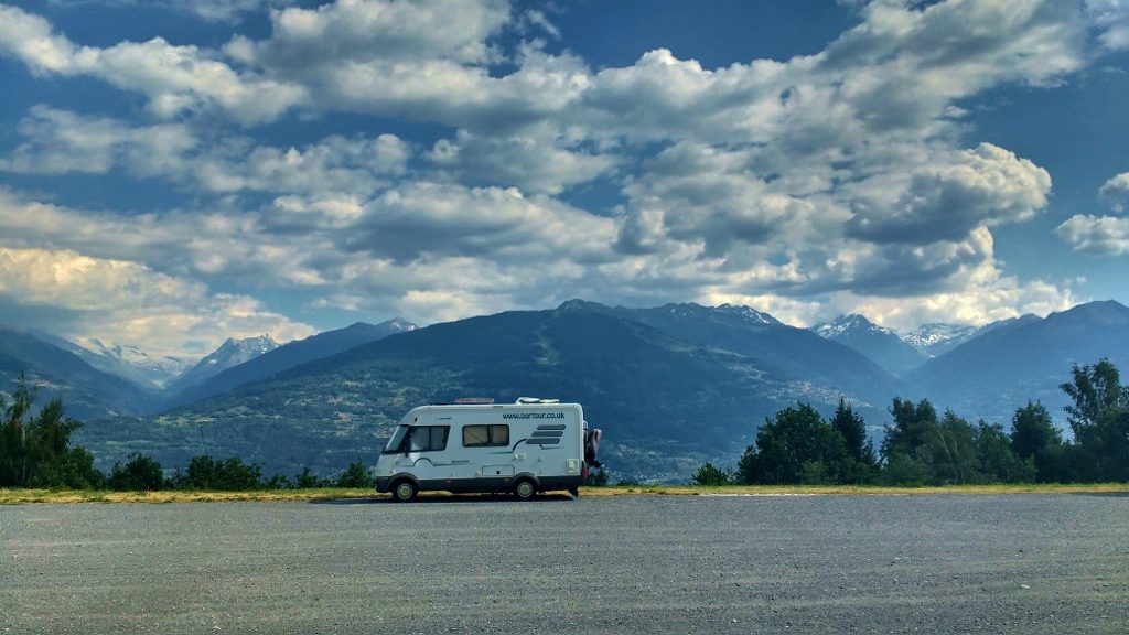
After a relaxing Sunday on the campsite, we bid farewell to Phil and Jules as their plans were taking them to Italy over the Grand St Bernard mountain pass. We now have a free diary until the 17th of July, when we hope to catch Stage 10 of the 2018 Tour de France, before heading north for a ferry home on the 23rd. Our initial reaction after the weekend’s race was to head straight back into France, land of the free and cheap aires, but Jay spotted this place on Park4Night and hidden in the reviews was a mention of stunning views and a 3 hour walk. So we programmed satnav and headed up here on Monday morning, just as the ACSI discount rate ended at the campsite we were on.
We paid extra special attention on our drive back down the valley from Randa to St Niklaus where the Zermatt marathon started from, and when we got there after feeling the descent I turned to Jay and asked him if he was planning on doing the full marathon next year. He said he is tempted, but there are lots of other amazing marathons out there for him to try – so watch this space, we may be back!
Our drive brought us back down into the Rhône valley. Along the valley floor a train line, motorway and B road compete with homes, businesses and fruit trees for every square inch of space. The south facing-valley side was even more crammed with grape vines – which we found strange as we saw very few on the other side of the pass in France.
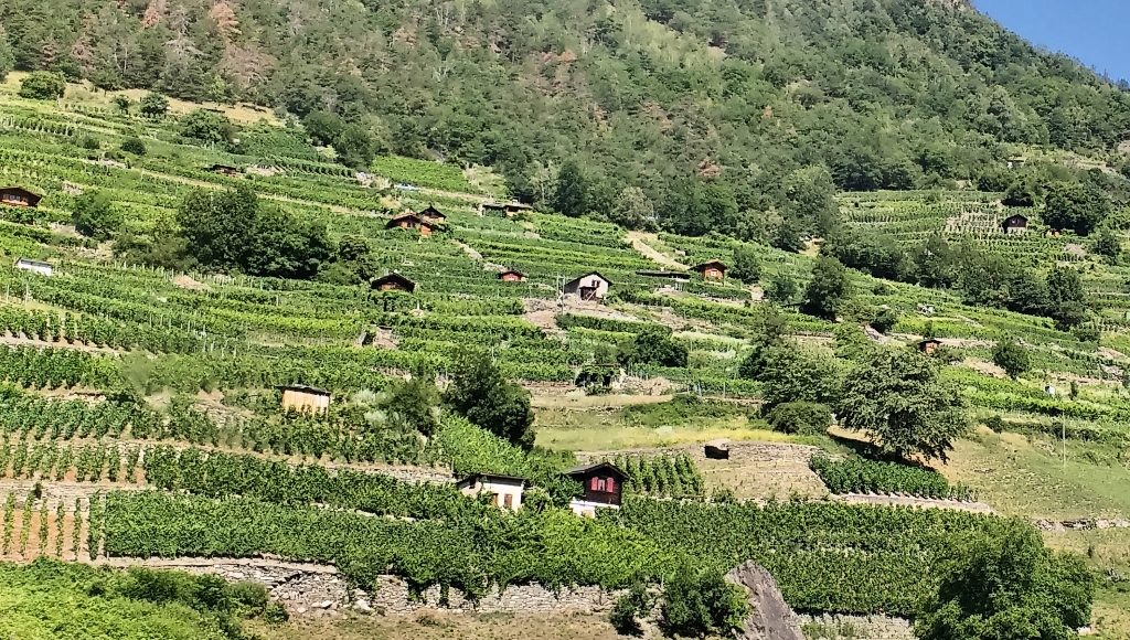
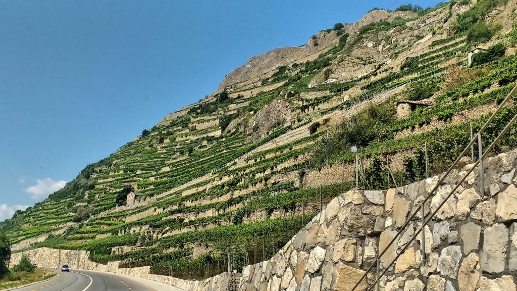
Arriving at the car park there were a few other motorhomes already here admiring the view. We parked up and Jay went to inspect the motorhome service point (2 CHF) and the tourist information hut, which has free WiFi that stretches across most of the car park. Being a week day, the whole place is pretty quiet, and the Internet is superfast – so we’ve taken the opportunity to upload a couple more videos to our YouTube Channel, and update all the apps on our phones etc.
After a spot of lunch, we realised it was only going to get hotter – it peaks around 5pm – so we donned our walking boots and set off. The map at the information point says it’s a two and a half hour return walk, from the start. We were a 45 minute walk from the start. So, packed up with water and emergency jelly babies we set off to see what the walk was all about.
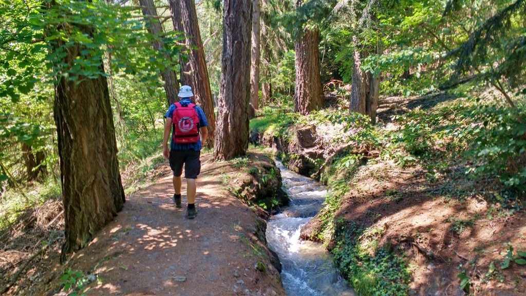
Walking to the start
The Torrent Neuf was a Bisse built around 1430 to bring water from the valley of Morge to the hills above Saviese, as the current channels that were built were insufficient. Along the first part of the walk up to the entrance the Bisse was constructed in its simplest form – a canal or channel dug out in loose earth which was then piled up at the side to hold the water in. Further along the walk the Bisse was cut into solid rock, a tunnel had been dug through a tight bend or more often wooden channels were hung onto the side of the rock face. As we walked along it never ceased to amaze me what lengths people had to go to get access to water all year round, something we take for granted.
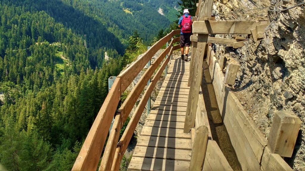
The water channel now runs along a much improved walkway
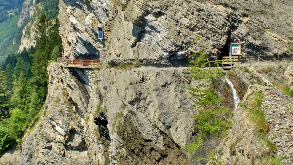
Walkways and tunnels guide the water high along the rock face
Old photographs and information boards showed you how the Bisse looked years ago, when the locals used narrow planks to navigate their way along it in order to maintain it. I got the heebeegeebees just looking at them.
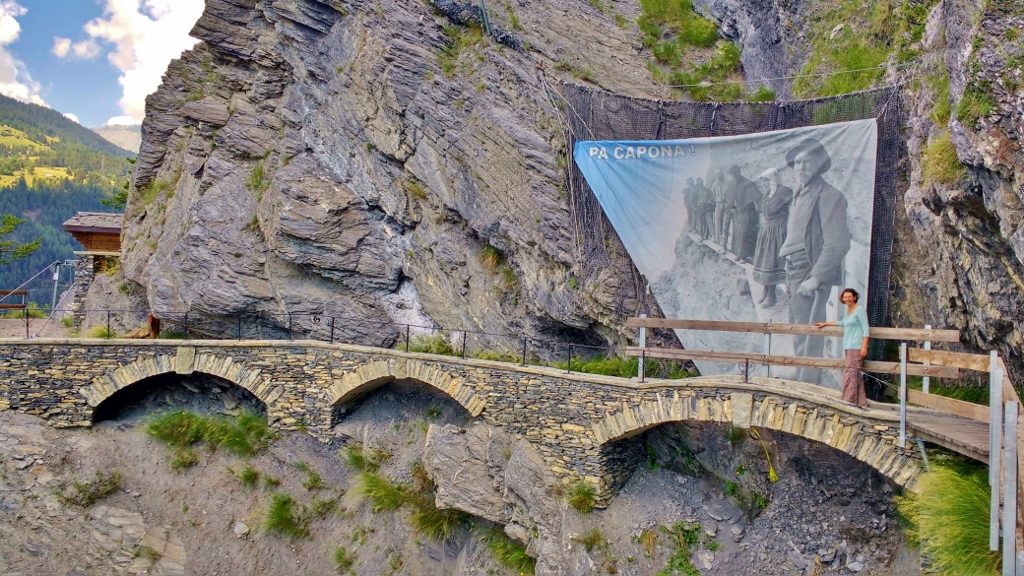
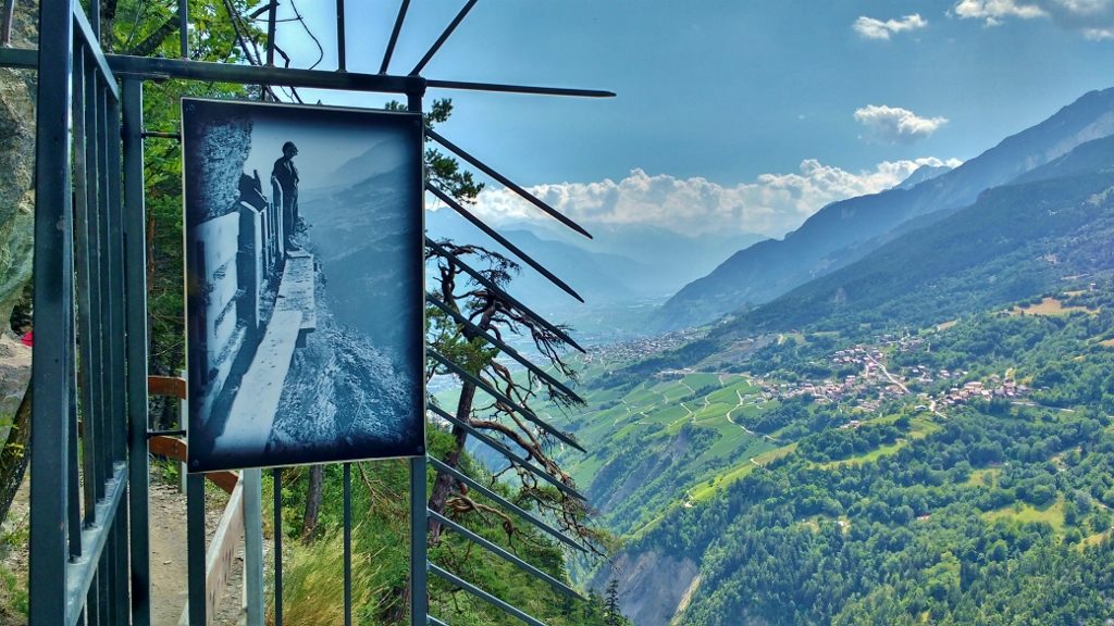
We had it much easier than the locals who built the Bisse
All along the route signs told you to look out for goats on the cliffs above you, as their movement would lead to rocks or stones being dislodged and sent down in your direction. Small stone fragments were falling off all the time, and Jay got hit by one, but luckily he had his trusty Birthday Skoda hat on, so it didn’t cause any damage.
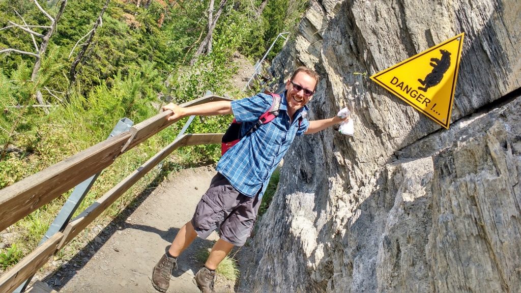
Along with goat warning signs, there was one for bears, but further on a sign further on told us the last one in Switzerland was shot a few decades ago.
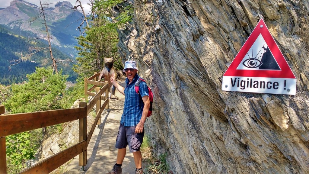
Hang on, how did he get here?
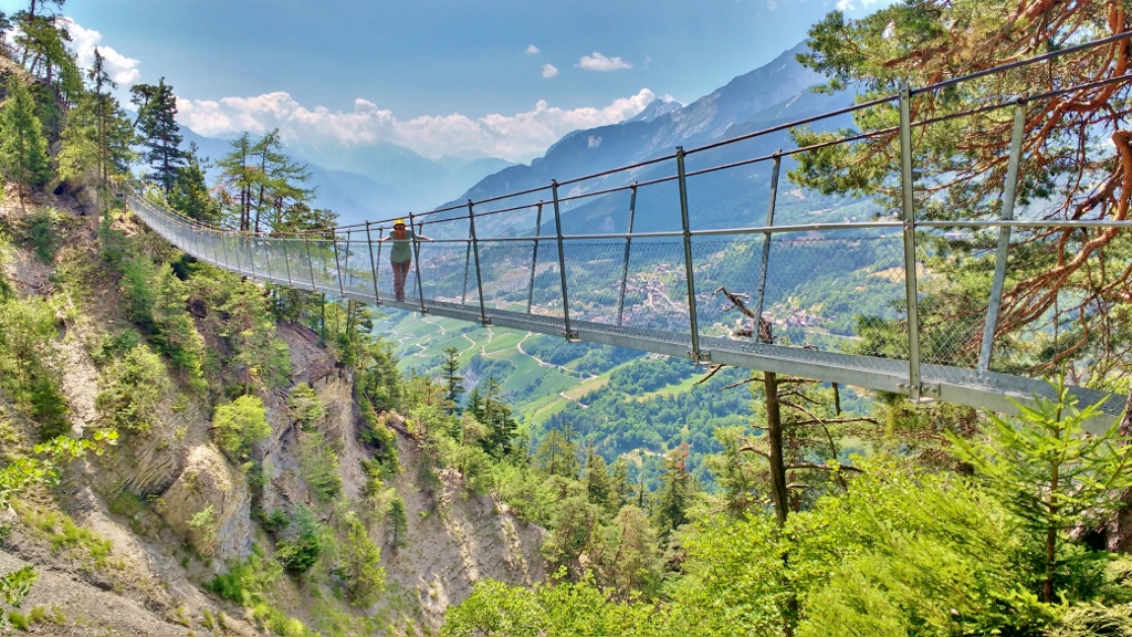
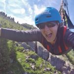
The best, or worst depending on how you look at it, part of the walk were the suspension bridges. Looking like they aren’t really held on by much, and swinging as you cross, they enabled us to get right to the end of the path and the source of the water the villagers so desperately wanted – warning, lots of photos!
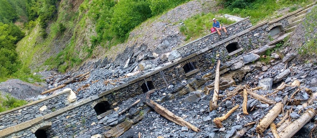
It looks like there was a lot of water coming down here over winter bringing trees and huge rocks with it
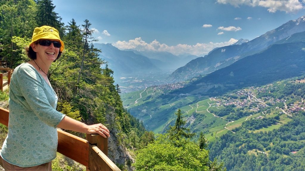
The view out across to the Rhone valley were amazing
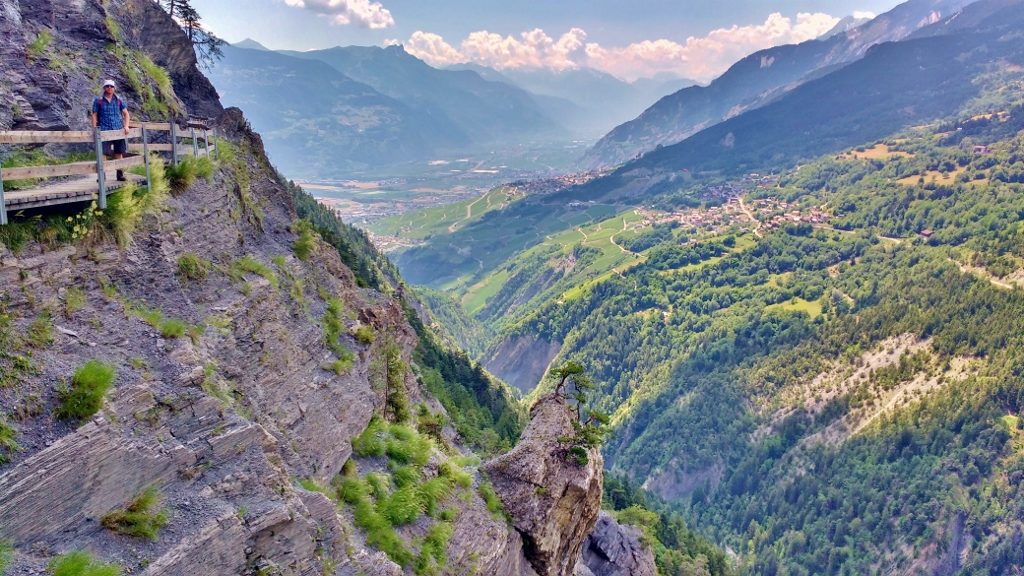
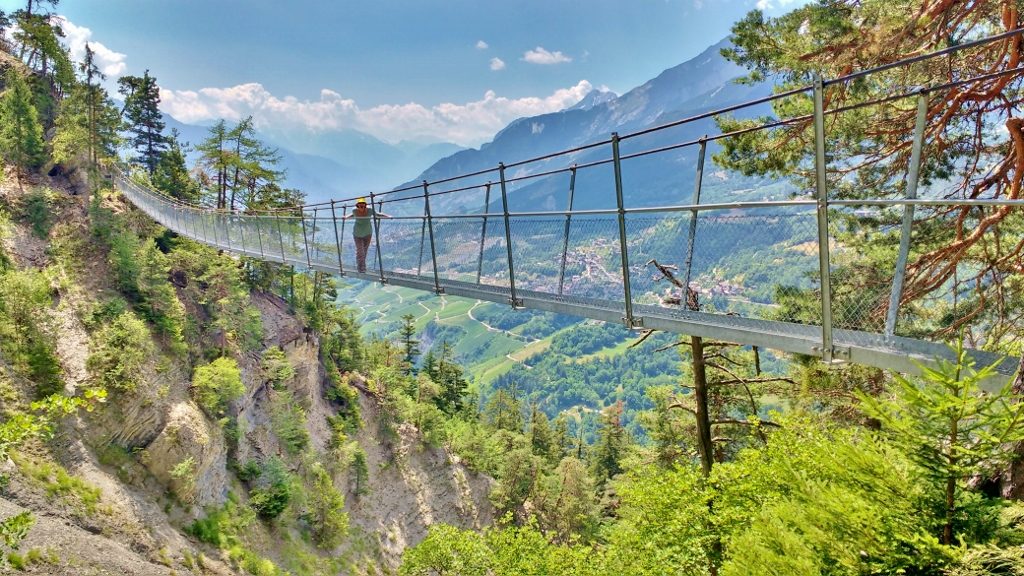
Charlie would have hated this, even when he was little and enjoyed a walk
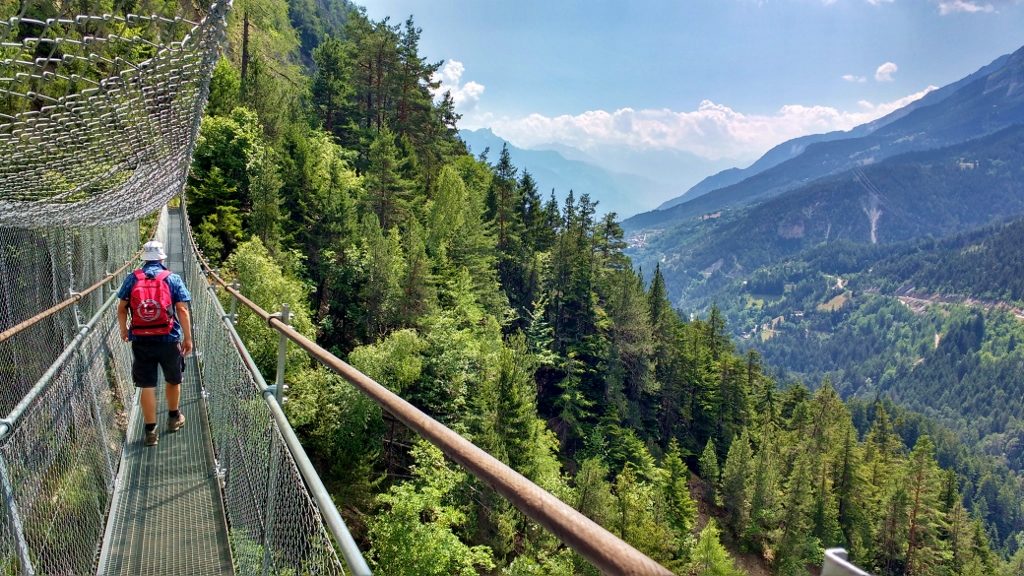
As we started to head back from the source, the sky darkened. We picked up the pace, but didn’t manage to outrun it, soon we were being hit with huge splots of rain. The path is closed in wet and windy weather, and while it was just a few splots it looked like there was much more to come. As we headed back folks were still walking out along the path, so we figured they wouldn’t shut it with people on it and backed off a bit.
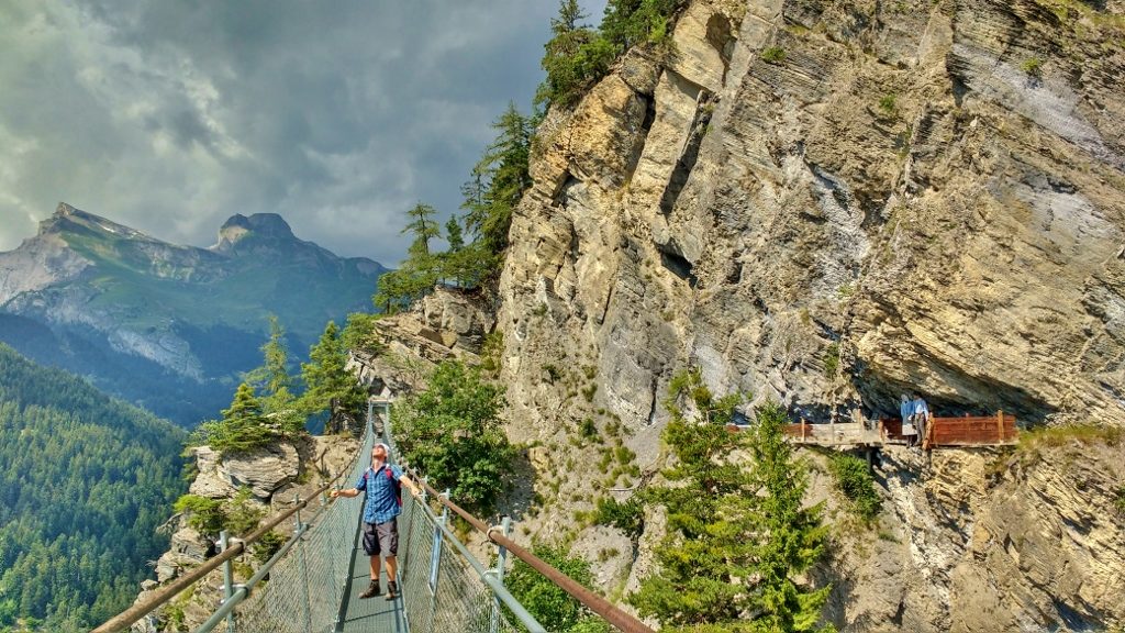
Jay watches the sky, while mannequins show what it would have been like before the bridges
Our return walk was significantly faster than the walk out, but we still had chance to stop and make a quick video for you as photos just don’t do the place justice.
In all it took us around four hours of not very strenuous walking, but with some amazing views. The path is free to walk along, but we made sure we put a donation in the box on the way out to help with its upkeep. If you are ever in the area, I’d certainly recommend a trip up here.
Ju x


Beautiful walk with great views, I would definitely attempt it. Apart from the wobbly bridge it does not look too vertigo inducing?
Nah, it was fine, although there are three of those bridges, and you have to do ’em twice each…
Wow, wow,wow! Would love to do this. I’ve written the name down so I can add it to my growing list of places I’d like to go!