St Govan’s and Haverfordwest, Pembrokeshire, Wales
Eyeballing the map from our farm campsite near Tenby we’d a fair few options available to us. We’d recommendations for coastal campsites at Angle and West Hook Farm, the latter with boat access for birding at Skomer Island. Both looked enticing, but also a tad middle of nowhere. Ju has a sea-sickness-led aversion to boats so Skomer wasn’t on the cards, and we just happened to be in the mood for places a little less remote. We’ve also had folks suggesting St David’s as a good spot, which has a gathering of campsites a 20 min walk south of it, each offering access to both the coast (and the coastal path) and urban life. Perfect.
Not wanting to entirely skip large swathes of the county, we decided to nip down to the famous tiny chapel at St Govan’s, then head north to a small campsite just outside Haversfordwest. We chose the latter as it’s a stone’s throw from the start of a Parkrun, a free 3.1 mile walk, jog or run held across the country (and many other countries) at 9am on a Saturday morning. From the window of Zagan we waved goodbye to the owner at our last campsite as we departed, the only time we got to see her. Ju had tried and failed to track her down during our two day stay, so she paid by leaving the money in an envelope in her letter box.
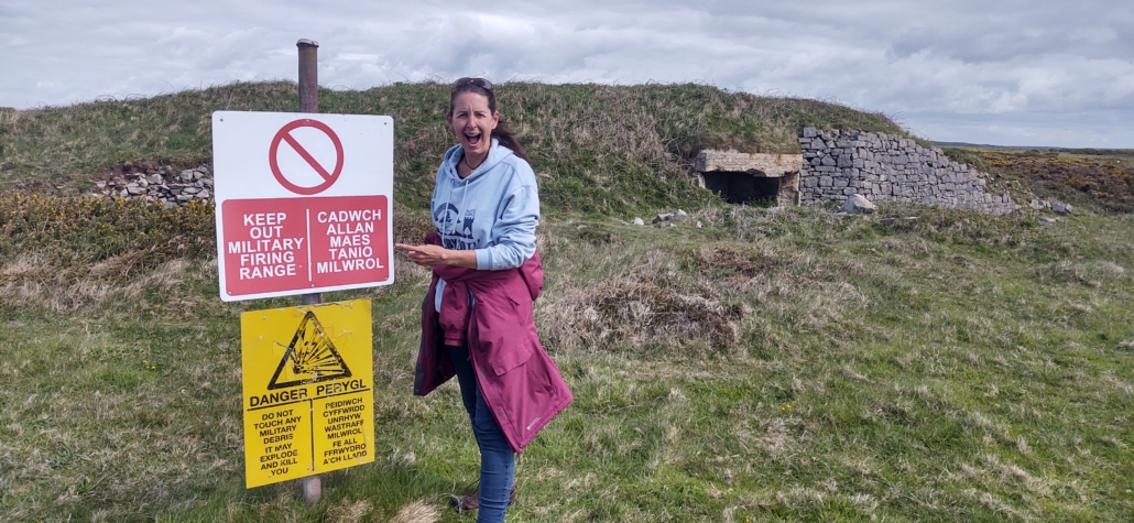
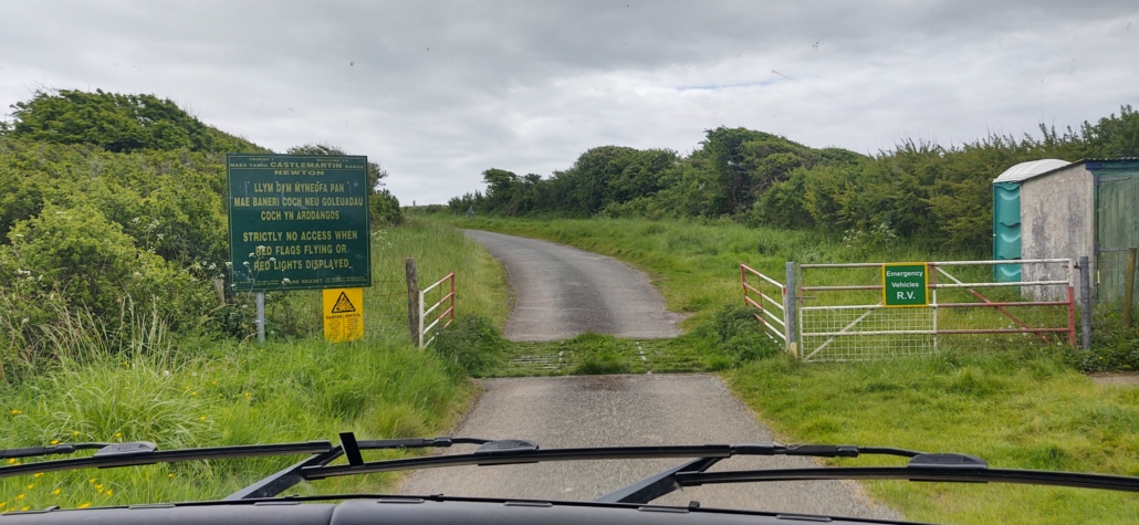
The roads and lanes to St Govan’s tightened up as we got closer until we found ourselves at the edge of the MOD’s Castlemartin Range. We knew there was a military live firing area surrounding St Govan’s but had completely failed to check whether the army would be busy blowing stuff up at the time we arrived, whoops. We halted at a checkpoint at the entrance to the range, the only road down to St Govan’s, and read the signs. “NO ACCESS WHEN RED FLAGS FLYING”. We looked around for red flags. Nothing. The gates were open, a couple of lampposts with red lights stood unlit. A cabin aside the gate had no-one in it. Looks fine, in we go.
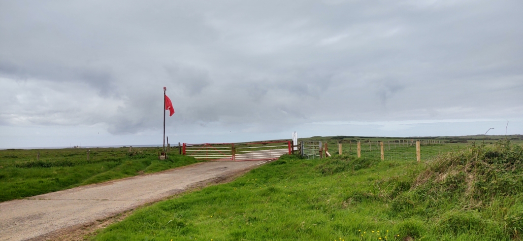
We got about 100m before we saw the huge red flag flapping away and let me tell you we got on the brakes sharpish. A loud KABOOM followed as a tank or some such let fly out of sight. Errmmm. The road was single track at this point, and we noticed the flag was above a closed side gate, so maybe meant we couldn’t turn off?
Anyway, we edged forwards. Another BOOM! Sheeet!!! There was still nowhere to turn so in the end we just drove down to the car park at the end, staring at a couple of distant tanks, relieved to see a couple of vehicles already in the car park. Another red flag was flying above a cabin. I nipped over and spoke with the chap inside. “Are we alright using this access road?” I asked, “I ‘ope so, I’m here aren’t I?” he replied. RATATATATATAT. Machine gun fire, blasted away. Not entirely sure what he meant I check again we could safely drive back down the road “Yep, you’re OK”. Phew. We’d both been having visions of the next day’s front page news: “TANK DESTROYS CAMPERVAN”. If you don’t fancy finding you can’t access the chapel, you can check when the road will be closed on this website.
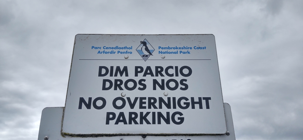
The car park at St Govan’s is in an idyllic spot, periodic explosions aside, flat, free and overlooking the cliffs and the wide blue ocean. At one time I imagine we’d have been able to overnight there but those days are sadly gone (maybe it was never possible as we are in a national park here?) We’d already guessed that was the case anyway, but spent a lovely couple of hours exploring the area and eating lunch in the sunshine, trying to get used to the ordnance booming across the countryside.
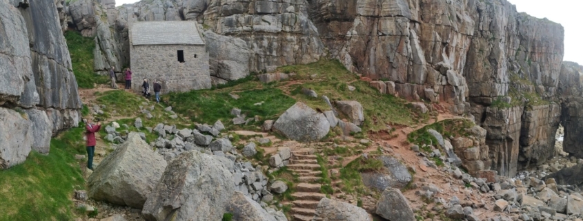
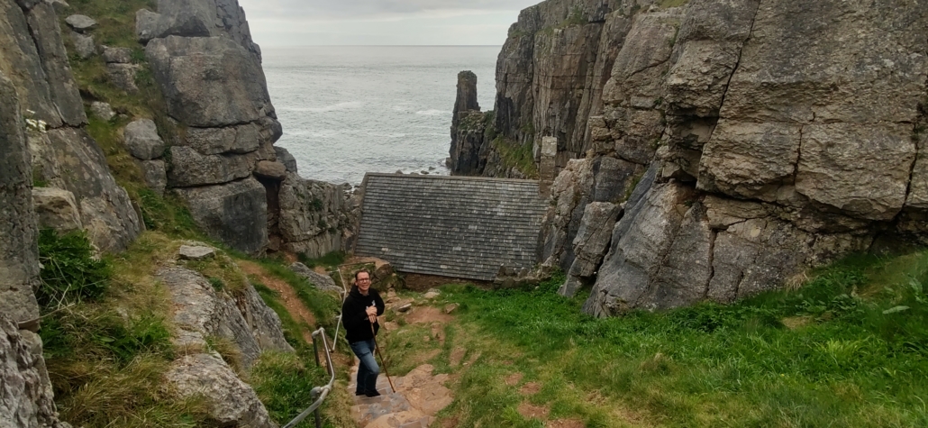
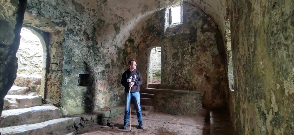
Just by the car park there’s a short, steep path down a wide crevice in the cliff face to St Govan’s Chapel, a tiny church built in the most unlikely spot. The shoe-shined steps have all had some kind of grit-tape clued to them, or they’d be lethal in wet weather. Fortunately for us the sun was flirting with grey clouds and we’d an easy descent. The path sort of ends at the side of the chapel. Only when you get to the bottom can you see it leads through the tiny, long abandoned building and out towards a small boulder-strewn area facing the sea. There’s not much to do other than wander about imagining a hermit’s life down here, grabbing a few photos and trying to ignore the fact all the rocks around you likely fell off the high cliffs above at some point.
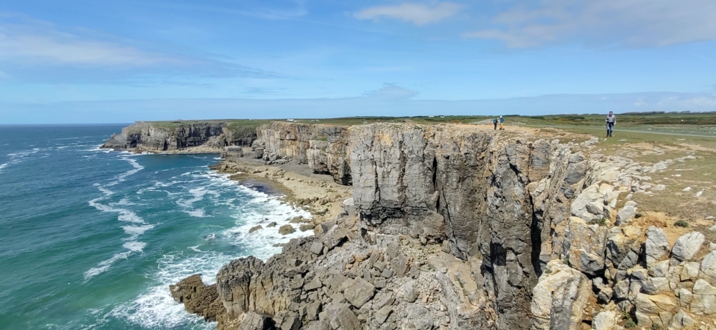
Back up the steps we headed out along the coastal path, a strip of ‘safe’ land marked out by white posts to separate it from the firing range inland. The cliff views were spectacular.
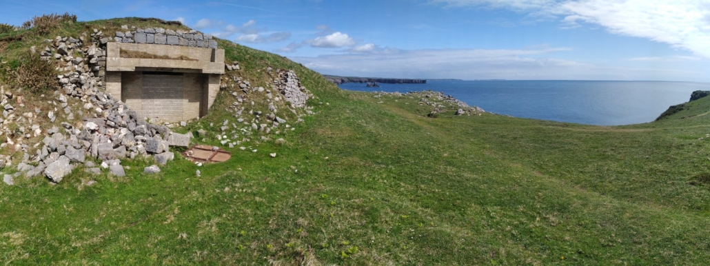
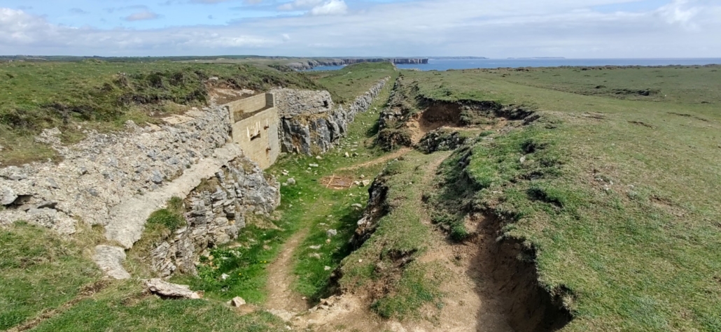
Castlemartin’s been a firing range since World War 2, and there are still stone-faced bunkers from that era spread along the coast. Their entrances have been bricked up but for a slit at the top allowing swallows and bats to retreat inside. Apparently soldiers would use these for safety while pulling targets along on rails for tanks to try and hit. The rails and trench are still visible between two of the bunkers we passed.
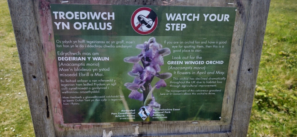
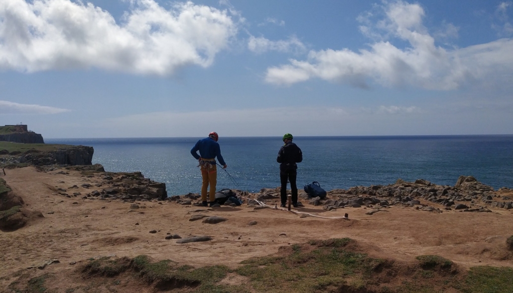
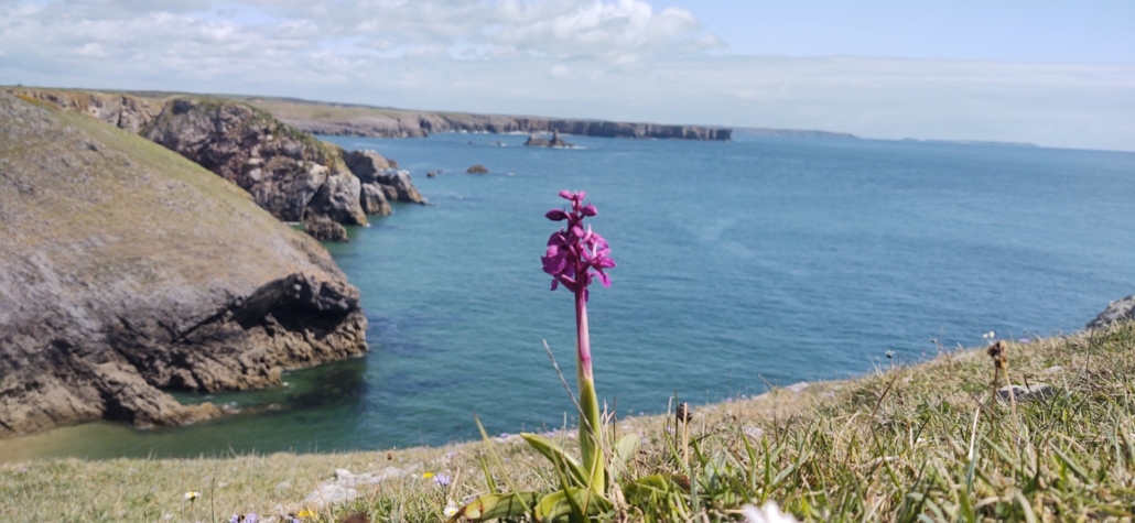
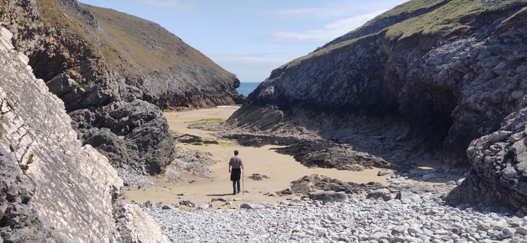
A little further along the coast a sign showed a black and white photo of landing craft approaching the coast loaded with tanks. The army had blown away some of the cliff face at a small bay called ‘Newquay’ to allow the vehicles to disembark. After sitting a while at St Govan’s Head, watching the teeny weeny climbers in the distance, we ambled over to the bay. Stood above it we could see a seal bobbing just offshore. We can never tell whether they’re watching the coast, looking out for people or, well, just bobbing about. Seal-aside, we were reminded of an idyllic little cove we once stayed at on the Pelion Peninsular in Greece. A sign by the chapel had told us to watch our step as Green Winged Orchids grew in the area, we spotted one looking down over the bay and grabbed a photo of it, before heading down to the sand.
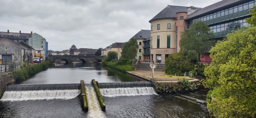
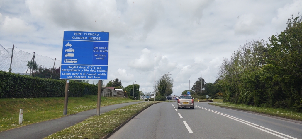
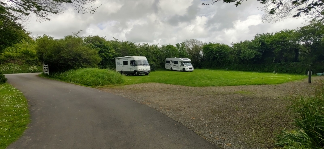
Once we’d munched some lunch we programmed the sat nav for here, a cracking little Camping and Caravanning Club certified site called Palmerston House at Haversfordwest (N51.792705, W4.991346). The drive here was uneventful, but did bring us across the impressive Cleddau Bridge, which crosses a river of the same name near Milford Haven. Signs as we approached announced ‘No Tolls’, at which point we realised it might be a toll bridge at certain times of the day or some such. Nope, the tolls were removed in 2019, but in looking it up we found the bridge is infamous. During construction in 1970, a 150 tonne section of it collapsed killing four workmen and narrowly missing the town below.
The site’s in a small grassy field with hook-up for all pitches and a small but very clean and useable shower and toilet block. There’s a service point, but no drive-over grey, just an area to bucket into, which is pretty normal for these types of small site which don’t want to pay for an in-ground drain to be built (I don’t mind using a bucket, especially if we’re using on-site showers, or we just wait until we’re on a bigger site).
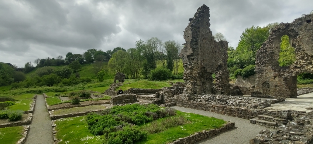
We’ve had a run over to the nearby cricket ground where the Parkrun starts in the morning, and the lady here has confirmed we can stay and get a shower afterwards before heading off. We’ve also been and had a look around Haverfordwest. I’d say it’s more of a working town than a tourist haunt (the tourist office would no doubt disagree). The most interesting bit for us was poking around the ruins of the priory. An information sign told us it prospered here, in what was a boomtown when it was the Norman frontier with Wales, for 300 years despite an awkward location on the river’s floodplain. Eventually Henry VIII finished it off when he dissolved the monasteries and grabbed their wealth in the 16th century (boo hiss).
Right now we’re back in the van with the birds singing and the sun shining on the grass and meadow flowers around us. We’ll chill out here this evening, do the run in the morning and then kaboom, we’re back on the coast (perhaps via Tescos – although there is a supermarket in St David’s if we need stuff there).
Cheers, Jay




Leave a Reply
Want to join the discussion?Feel free to contribute!