
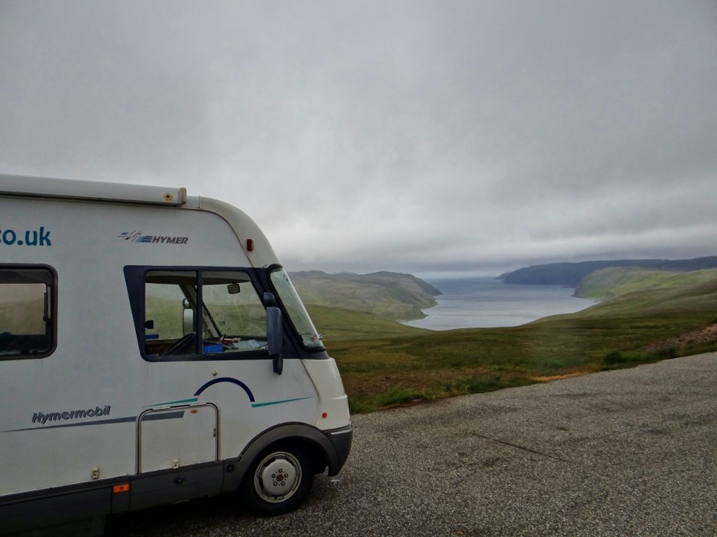
Almost at the top, Skarsvåg, Norway
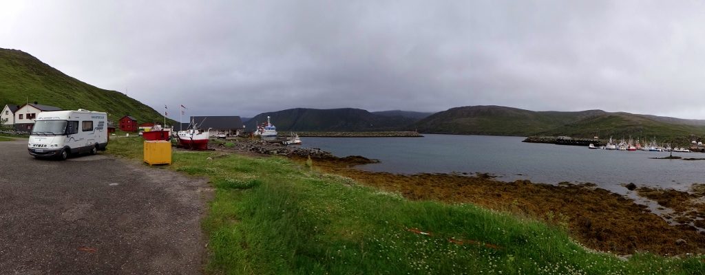
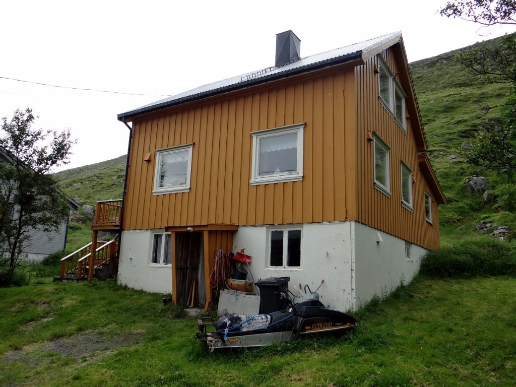
Zagan the motorhome is facing down the biting, gusting wind at the world’s northernmost fishing village, Skarsvåg (N71.11335, E25.82791) in Norway.
Today I’ve driven us north, stopping just short of North Cape/Nordkapp as the weather is rubbish. We’ve been told by people that this area of Norway isn’t very scenic, but to us after flat Finland it’s amazing. Jay was co-pilot today and managed to clock up close to 200 photos (he claims he deleted loads too, but has confessed to taking them to keep his mind off my driving) as each corner on the road brings new sights. Wide sweeping bays, clusters of tiny multi-coloured houses sitting by the shore, cliff faces, fjords and much more.
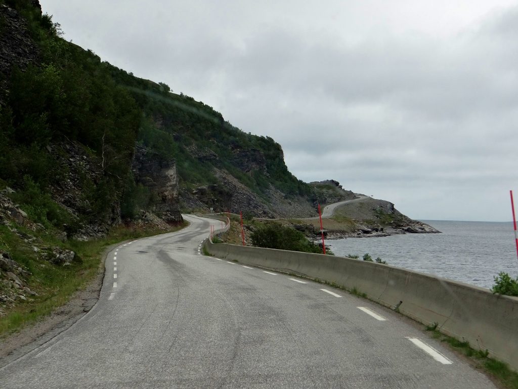
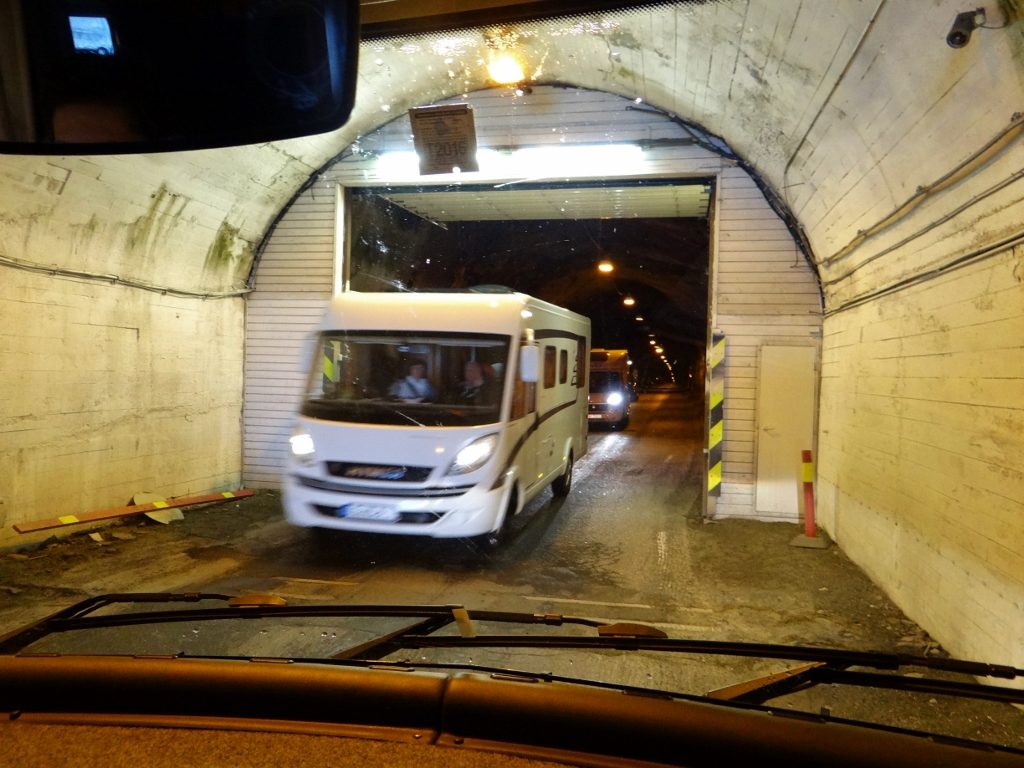
 The distance between last night’s spot and here was just under 100 kilometres, but we had to drive over 150 kilometres to get here, winding our way around fjords and hills. As this was only my fourth time behind the wheel, I also clocked up my first experiences of driving Zagan in a tunnel. The first one we entered being about a motorhome and a half wide, so I was pleased to see green traffic lights guiding me in. Once inside the ‘porch’ and about to drive into the actual tunnel I spotted headlights coming towards me.
Panicking a bit, Jay calmly talked me as far over to the side as I could go, as there was traffic behind me. The headlights turned into a slow convoy of two motorhomes, who just squeezed through the gap I had left. I’m sure we were all breathing in. Figuring they were the tail end of the traffic from the other side, I ventured in and started to breath again as the tunnel got a tad wider. Several expletives and a few more motorhomes later we were though in one piece. Note to self – green traffic light = the tunnel is open, not my right of way.
Gaaaaahhh – what’s he doing there?!
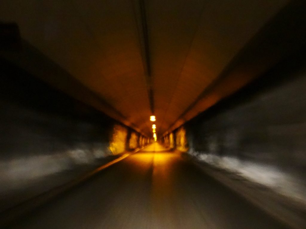
Heading downhill under the sea
The tunnel to the island of Magerøya used to charge a toll, but now the cost of building it has been recovered it is free. For the first three and a half kilometres I had to hold back Zagan, as he tried to race down the steep slope under the sea. I don’t remember any flat part, just another three and a half kilometre steep crawl back out. I half expected us to rise out of the end of the tunnel like a whale breaching in the sea. Despite the road gods throwing high winds, busses, lorries and reindeer towards us, the only actual incident was the slight nudging of a roadworks road sign, but it didn’t leave a mark.
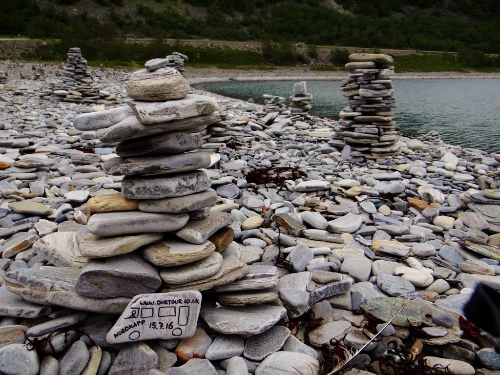
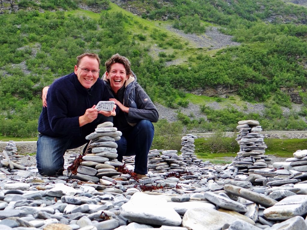
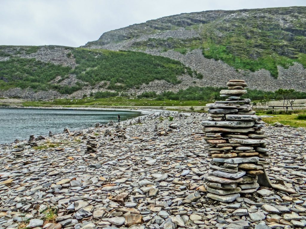
This beach is where everyone leaves their mark. I put tomorrow’s date as we’ll finally get to the North Cape then.
The cloud is low and the wind is howling, so tonight we’re hunkered down, facing into the wind on the fishing quay at Skarsvåg. Zagan’s steady legs are down, to stop him rocking about too much, and we’re supping a large part of our wine stash so we won’t notice if he does rock. Tomorrow we have our fingers optimistically crossed for better weather, but the weathermen aren’t so optimistic. Whatever happens we’re going to drive north.
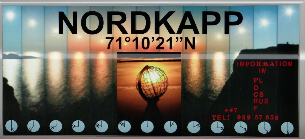
This is what we are hoping to see tomorrow. If the weather carries on like this I think this poster is the closest we’ll get
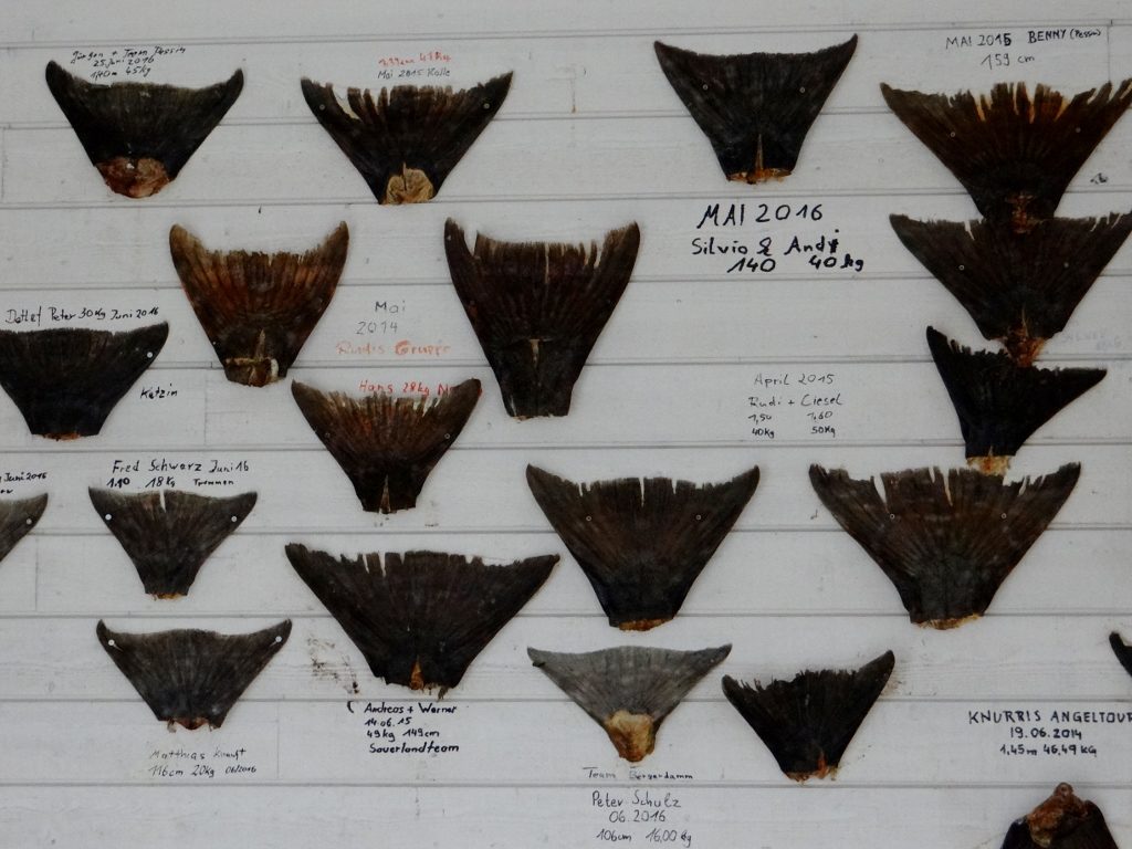
Massive fish tails hang outside the deep sea fishing office
Ski-doo waiting for the snow to return
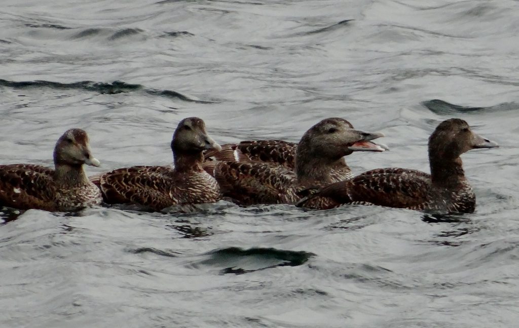
This lot are doing their own fishing in the harbour
There is much talk among people coming to Norway as to where to head to be at the true most northerly point of mainland Europe. Knivskjellodden, just west of North Cape, claims it as it sticks out a bit further, but there are no roads to it, so it’s a five hour return hike. Kinnarodden to the east of North Cape argues that the other two are on Magerøya island, so it should win, but once again there are no roads to it. All I know is that we are going to drive to the furthest north point that we can tomorrow and that is North Cape, and when we get there we’ll be on top of the world!
Ju x
PS – A tour bus has just arrived and there’s a group of tourists around Zagan taking photos of the bay and him. We know he’s a star, but we didn’t realise word had spread.
Planning your own motorhome adventure to Norway?
You’ll find loads of tips in our free guide to Touring Norway by motorhome.
New to motorhome life,
planning your own motorhome adventure, or
looking for the perfect gift for the motorhomer in your life?
Check out our OurTour range of books.


")


Zagan is not just a star, he’s a world star!!!
Tch Tch Whatever next ? Van rock art on a graffiti free beach……ha ha, brilliant touch !
Ah, erm, we weren’t all that original to be honest! Being on the main Nordkapp route, about 80 other people had already popped ‘personalised’ stones on the beach!
We visited the beach you left your painted pebble on on our way back from Nordkapp 3 days ago. I scoured that beach looking for it but 2 years has obviously not been kind to it and most of the stone piles were flattened. Such a shame!
Haha! It would have been amazing if you found it John. The winters up there must be rather bleak. Enjoy the Arctic. Cheers, Jay